Who owns this land
Public-land boundaries on the map, so you know where you can legally go.
 Catalyst To Courage
Outdoor intelligence In development
The map that explains the ground you are standing on.
Out in the field it is hard to know whose land you are on, what the rules are, and what the terrain and weather mean for your day. OutdoorX puts all of that on one map and explains it in plain words.
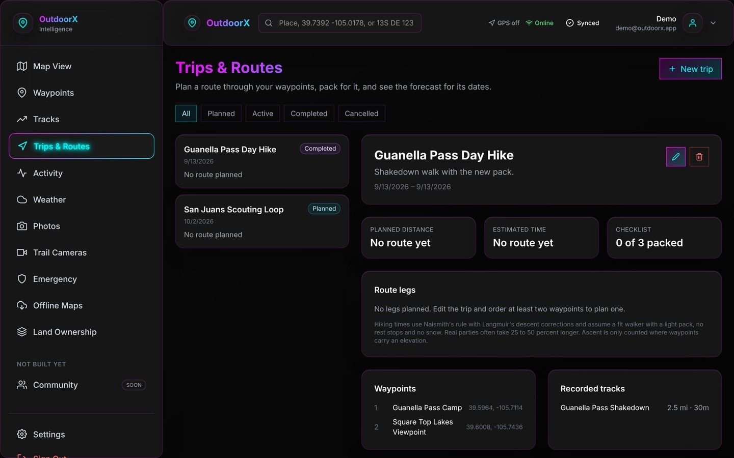
See public and private land boundaries around you, drawn from official land records.
Drop pins for stands, camps, fishing holes and sightings; add photos and trail-camera shots.
Ask things like “Can I hunt here this weekend?” and get an answer that shows where it came from.
Public-land boundaries on the map, so you know where you can legally go.
Waypoints, tracks, photos and trail cameras saved together on one map.
Ridges, saddles, slopes and water — the shape of the ground, explained.
What the weather is doing now and next, where you are standing.
Seasons and regulations shown with their source, never guessed.
An assistant that explains what it all means and shows its source.
It is still in development. If it would solve a problem for you, I would like to hear about it.